


The route of the Divine Garganta, name with which also the route of the Cares is known, is a passage that unites a point of the Leonese geography, Caín, with one of the Asturian geography, Poncebos. There are 12 km of travel between both municipalities (and 24 km if you dare with the round trip) that arouse the interest of thousands of people a year, which makes it the most famous route of the Picos de Europa.
And it is that the geology of this part of the Picos de Europa is not for less. The Cares River is born in the Sierra del Collado de Cebolleda (province of León), at an altitude close to 2,000 meters. It feeds on the melting waters of the mountains and those that run down the slopes.
The route will start in Poncebos (Asturias). In low season you can go up a bit more, to where the funicular of Bulnes is or until the beginning of the Gorge. In Puente Poncebos choose the path on the left. A few meters later, on the right, a path will take you to the Collaos. Soon you will start to see the river Cares that runs between the huge walls.
We begin the descent and once in Culiembro the GR-202 Route of the Reconquista is deviated, that ascends by the channel of Culiembro towards Ostón and soon by Vega Maor and Vega de Comeya that goes to Covadonga .
We enter the most beautiful and spectacular part, where the walls of the gorge are almost glued. Shortly after we entered the territory of León, here the path climbs the height with respect to the river, we continue and pass the Bolín bridge, a spectacular moment due to its great height. At this time, you would prefer to stay there to continue observing the beauty of the place. But, calm, shortly after you will cross again by the bridge of Los Rebecos.
Finally, you will pass through a tunnel with large holes carved into the wall, reaching the Cain Dam, where the valley and the municipality of Caín are opened.
In its course, the river reaches the well-known Garganta del Cares , breaking through the limestone rocks of the Picos de Europa. As it passes through Cain, and later in its course, the river continues to feed on almost vertical channels that descend through the walls of the mountain to reach it. In this section of the path we find large slopes in the walls that leave the hiker with an open mouth. Here we find an impressive gorge that leaves space for a single visitor: the river itself.
This road makes the visitor reflect on the past of the road: someone must have drilled these rocks in the very Cares gorge . And sure that back then there was not as much machinery as now. Worthy to be admired, at least.
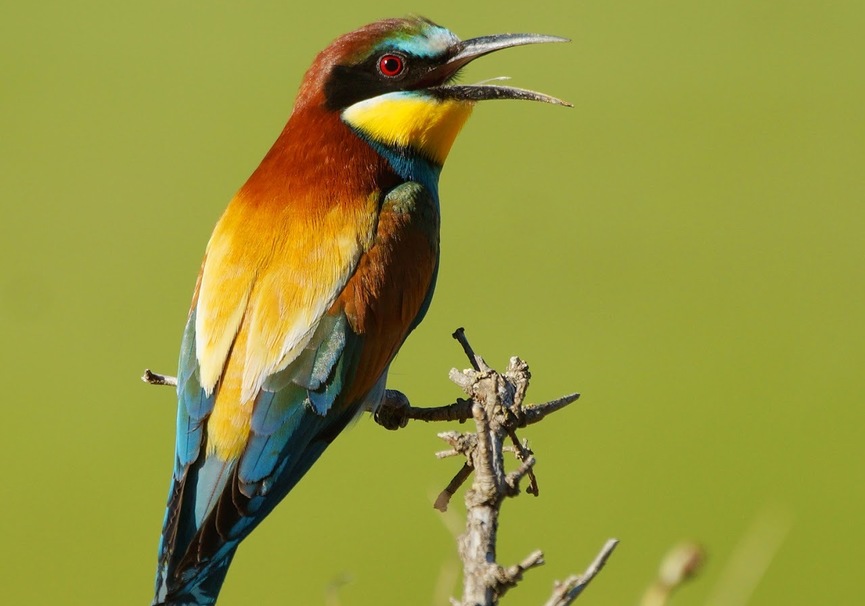
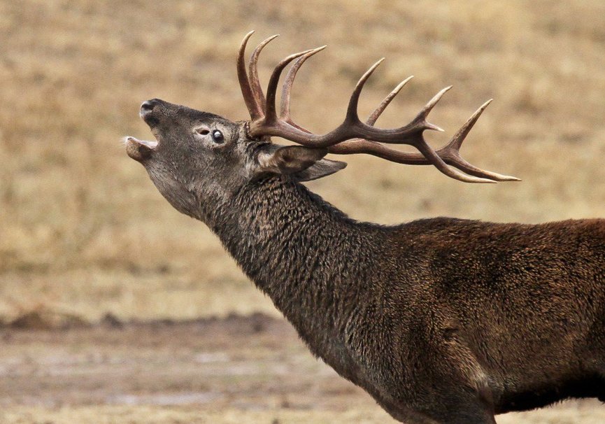
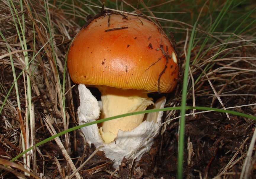
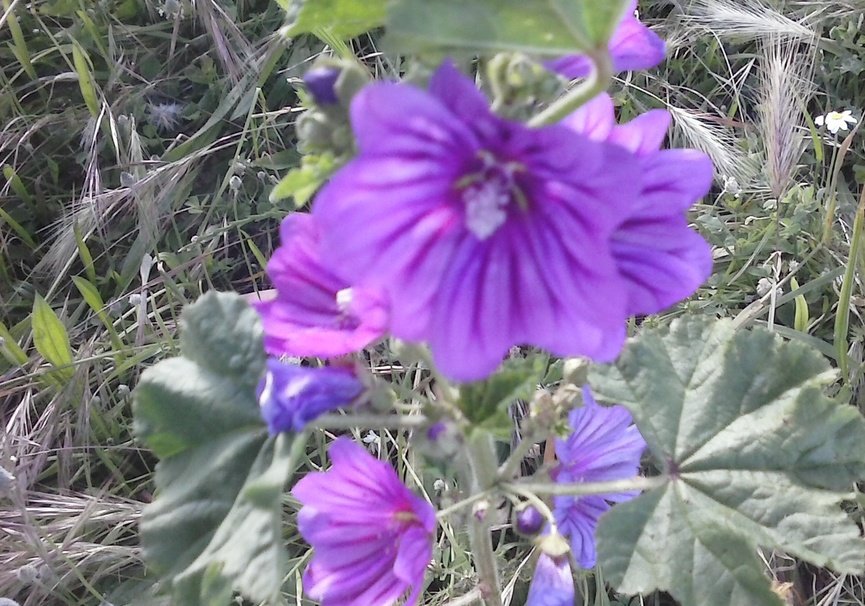
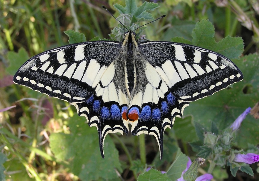
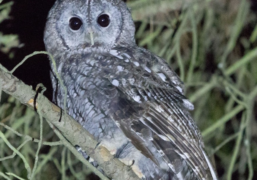
On the other hand, it goes without saying that another of the attractions of the Cares route is that it crosses the National Park of the Picos de Europa. This, together with the fact that this area is difficult to access due to its verticality, the abruptness of the terrain, and the fact that it is a Biosphere Reserve, have allowed both endemic flora and fauna characteristic of the region to find their habitat here suitable.
The Route of the Cares presents multiple options to cross it: round trip or only one of the two; with or without a guide; in spring, or in summer. You choose when is your time to live it.